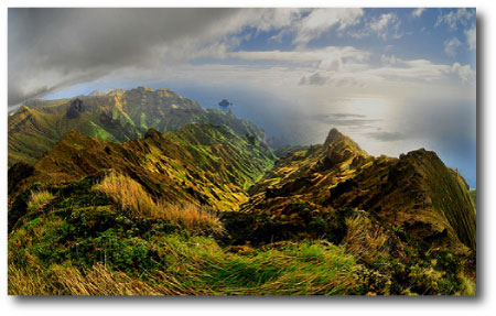
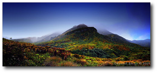
Gough Island. Image Source.
Urbana, Illinois, the quintessential Midwestern University town, was a fine place to grow up, but it is sited in a landscape that is neither remote nor exotic.
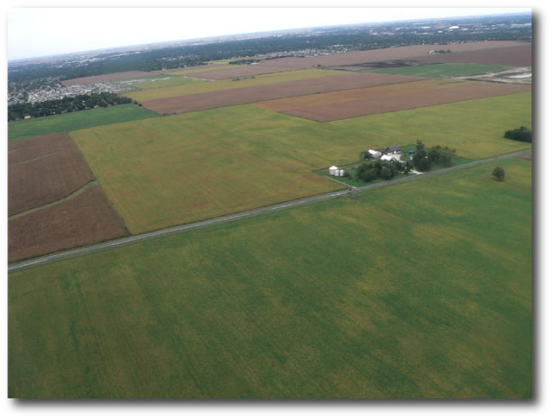
Lifting up from Willard Airport just south of town, the near-absolute flatness of the landscape, planed by the last glacial advance, extends in a patchwork of corn and soybean fields to every horizon.
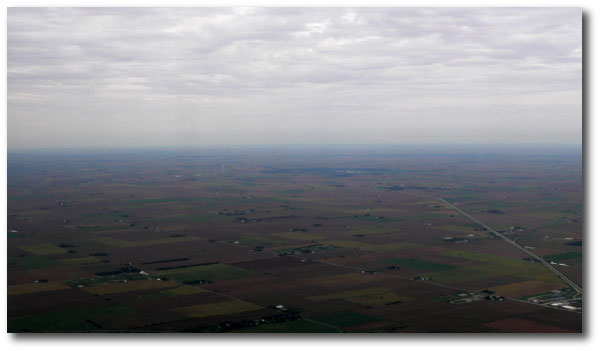
Something about the first-glance monotony of the Illinois landscape gradually instills a heightened sensitivity to the subtle detail inherent in a sense of place. Ray Bradbury, in Something Wicked This Way Comes, captures the essence of this perfectly. I think that living in Illinois also instilled a fascination with maps of the distant and rugged corners of the world.
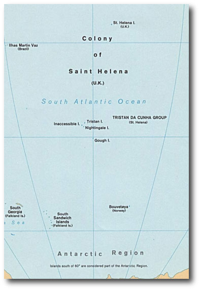
I spent a lot of time poring over the maps that come with National Geographic. I’ve always been particularly drawn to the region corresponding roughly to the South Atlantic Anomaly, the vast expanse of the Southern Ocean that spans the temperate through subarctic latitudes. In the region roughly equidistant from South America, Africa and Antarctica, the maps show only a few specks of land: St. Helena, Tristan da Cunha, Gough, Bouvet. These islands, on the basis of their latitudes alone, seemed like they might be “habitable”, but the colossal scale imposed by millions of square miles of deep water, left them completely unresolved.
Within a few years, we’ll also know about extrasolar planets that just might be habitable. That is, we’ll have specific, concrete knowledge of worlds with radii and masses similar to Earth, on orbits within their parent star’s so-called habitable zones. But in all likelihood, for quite a while after that, a few spare, unadorned facts will constitute the bulk of our information about those planets — it’ll be left to extrapolation, to flights of conjecture and guesswork, to fill in the details.
The situation seems oddly parallel to the maps of the Southern Ocean. I can remember ranging over the names and coordinates of the the cryptic dots in the expanse of blue, and wondering, what are they like? There was nothing about Inaccessible I. in the public library. There was hardly a mention, of St. Helena I. (U.K.), other than a few maddeningly sketchy fragments in the Encyclopedia Britannica. Napoleon, after Waterloo, had been famously dispatched there, precisely because of its remoteness and isolation. Almanacs are invariably fond of listing the fact that Bouvet is the most isolated spot of land on Earth.
Like a current-day version of the TPF mission, the advent of Google and the Internet have brought the worlds of the Southern Ocean into focus.
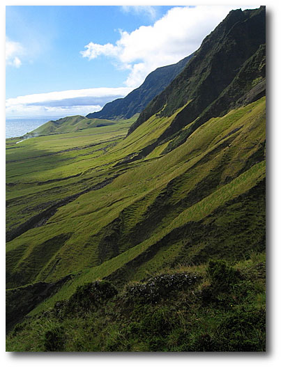
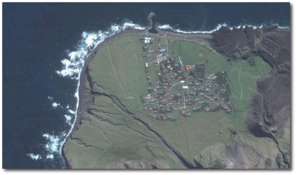
Tristan da Cunha. Image Source.
Tristan da Cunha is dominated by a steep-sided 2000-meter volcano that last erupted in 1961. Two hundred and sixty people live on the island, making it the most isolated permanently inhabited spot on Earth. With Google, it’s possible to explore in great detail, although actually going there is not easy. There’s no airstrip. The only way in is by boat.
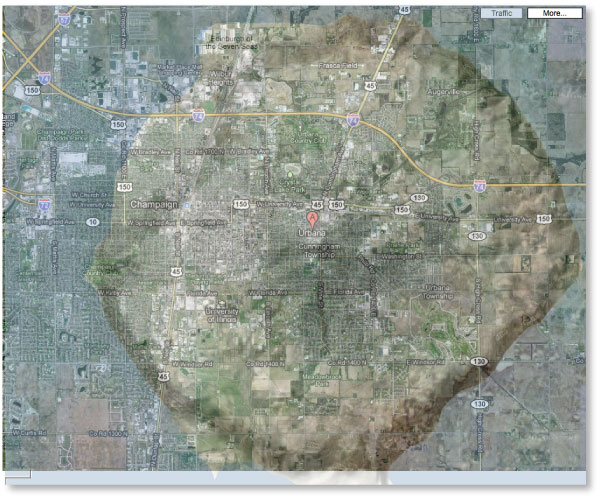
To get a better sense of scale, I superimposed the island on Urbana, Illinois, for a personalized juxtaposition of the exotic and the familiar.
Even more remote, is Gough Island. Until last year, it was hard to find good pictures of Gough. The views all seemed the same — a craggy heap of lava in the misty distance from the decks of ships. Recently, though, Google pointed me to an absolutely fantastic set of annotated photos, taken by Chantal Steyn, who spent an entire year during 2008-2009 on the island as part of an 8-person team that staffed a South African weather station on the Island. Suddenly, Gough comes spectacularly to life, the very picture of a habitable, yet alien world.
Mount Zeus on Gough Island. Image Source.
Further south, and far more formidable, is Bouvet. Nobody seems to be there, but oddly, the island has a top-level internet domain code (.bv) for which there are six registered hosts…
Image Source.

